Файл:16-11-16-Glasgow Airport-RR2 7312.jpg

Змест старонкі недаступны на іншых мовах.
Зьвесткі зь Вікіпэдыі — вольнай энцыкляпэдыі

Арыгінальны файл(4288 × 2848 піксэляў, памер файла: 6,53 Мб, тып MIME: image/jpeg)

Апісаньне

Апісаньне
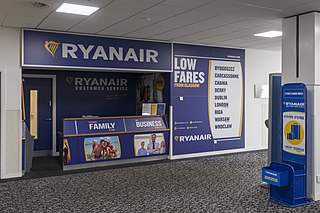
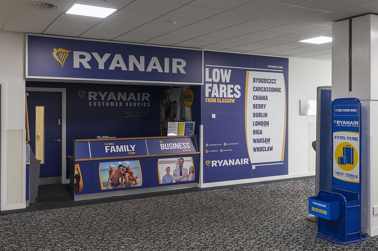
English: Counter of Ryanair at Glasgow International Airport
Дата
Крыніца Уласны твор
Аўтар

© Ralf Roletschek

Ralf Roletschek  (1963–)  wikidata:Q15080600
 
Ralf Roletschek
Апісаньне German інжынэр цывільнага будаўніцтва і фатограф
Дата нараджэньня 1963 Edit this at Wikidata
Месца нараджэньня Эбэрсвальдэ
Час працы з 1979
date QS:P,+1979-00-00T00:00:00Z/7,P580,+1979-00-00T00:00:00Z/9
Месца працы
Barcelona, Wien, Eberswalde
Нарматыўны кантроль
creator QS:P170,Q15080600
Дазвол
(Паўторнае выкарыстаньне гэтага файлу)

Dieses Foto ist von Ralf Roletschek

Achtung: Dieses Bild ist nicht gemeinfrei. Es ist zwar frei benutzbar aber gesetzlich geschützt.

This photo was created by Ralf Roletschek

Note: this image is not in the Public Domain. It is free to use but protected by law.

Entweder wird der Hinweis entsprechend den Lizenzbedingungen angegeben oder wie folgt:

Ralf Roletschek / Roletschek.at

in unmittelbarer Nähe beim Bild oder an einer Stelle in ihrer Publikation, wo dies üblich ist. Dabei muß der Zusammenhang zwischen Bild und Urhebernennung gewahrt bleiben. In jedem Fall sind Urheber und Lizenz zu nennen.

Ein Link zu meiner Homepage ist erwünscht aber nicht Bedingung.

Either the notice is given in accordance with the license conditions or as follows::

Ralf Roletschek / Roletschek.at

near to the photo or at a location that is common in your publication but preserving the association between image and credit. In any event, copyright and license are to be mentioned.

A link to my website is much appreciated but not mandatory.

Bitte lesen Sie den vollen Lizenztext gründlich, bevor Sie das Bild nutzen! Wenn Sie Fragen zu den Lizenzvereinbarungen haben oder weniger restriktive kommerzielle Lizenzen wünschen, kontaktieren Sie mich per Mail: ralf@roletschek.de

Please review the full license requirements carefully before using this image. If you would like to clarify the terms of the license or negotiate less restrictive commercial licensing outside of the bounds of Licenses, please contact me by email: ralf@roletschek.de

Please do not upload a modified image here without consultation with the author.
The author would like to make possible minor modifications only at his own source. (The source is usually a RAW file. Processing of the JPEG file means a loss of quality.) This ensures that the changes and the quality are preserved.
If you think that any changes should be required, please contact the author.
Otherwise you can upload a new image with a new name. Please use one of the templates Derivative or Extracted. Please enter your name too, if you upload a derivative or a detail, because you're in charge of the changes.
Please do not rename this file. The name is part of the attribution. In the case of misstatements, the author is pleased to provide information.
Wikimedia Österreich

The making of this work was supported by Wikimedia Austria.

For other files made with the support of Wikimedia Austria, please see the category Supported by Wikimedia Österreich.

Месца камэры55° 51′ 53,07″ пн. ш., 4° 25′ 47,17″ у. д. Kartographer map based on OpenStreetMap.Гэтая й іншыя выявы на гэтым месцы: OpenStreetMapinfo

Ліцэнзія

GNU head Дазвол на капіраваньне, распаўсюджаньне і/альбо зьмену гэтага дакумэнту згодна умоваў GNU Free Documentation License толькі вэрсіі 1.2, апублікаванай Фундацыяй вольнага праграмнага забесьпячэньня; бяз нязьменных сэкцыяў і тэкстаў на першай і апошняй вокладках. Копія ліцэнзіі ўключаная ў сэкцыю з назвай GNU Free Documentation License. толькі 1.2


العربية  جازايرية  беларуская  беларуская (тарашкевіца)  български  বাংলা  català  čeština  Cymraeg  Deutsch  Schweizer Hochdeutsch  Zazaki  Ελληνικά  English  Esperanto  español  eesti  euskara  فارسی  suomi  français  galego  עברית  हिन्दी  hrvatski  magyar  հայերեն  Bahasa Indonesia  italiano  日本語  Jawa  ქართული  한국어  kurdî  Lëtzebuergesch  lietuvių  македонски  മലയാളം  मराठी  Bahasa Melayu  Nederlands  Norfuk / Pitkern  polski  português  português do Brasil  rumantsch  română  русский  sicilianu  slovenčina  slovenščina  shqip  српски / srpski  svenska  தமிழ்  తెలుగు  ไทย  Tagalog  Türkçe  toki pona  українська  vèneto  Tiếng Việt  中文  中文(简体)  中文(繁體)  +/−

Подпісы

Дадайце аднарадковае тлумачэньне, што зь сябе ўяўляе гэты файл

Элемэнты, выяўленыя на гэтым файле

адлюстроўвае

55°51'53.07001"N, 4°25'47.17200"W

0,025 сэкунда

2a4a45723d44366b24892129197740178587ee9d

6 846 277 байт

2848 піксэл

4288 піксэл

Гісторыя файла

Націсьніце на дату/час, каб паглядзець, як тады выглядаў файл.

Дата і часМініятураПамерыУдзельнікКамэнтар
цяперашняя15:29, 21 лістапада 2016Мініятура вэрсіі ад 15:29, 21 лістапада 20164288 × 2848 (6,53 Мб)Ralf Roletschek

Наступная старонка выкарыстоўвае гэты файл:

Глябальнае выкарыстаньне файла

Гэты файл выкарыстоўваецца ў наступных вікі:

  • Выкарыстаньне ў be.wikipedia.org
  • Выкарыстаньне ў ca.wikipedia.org
  • Выкарыстаньне ў de.wikipedia.org
  • Выкарыстаньне ў el.wikipedia.org
  • Выкарыстаньне ў en.wikipedia.org
  • Выкарыстаньне ў es.wikipedia.org
  • Выкарыстаньне ў fi.wikipedia.org
  • Выкарыстаньне ў ga.wikipedia.org
  • Выкарыстаньне ў ru.wikipedia.org
  • Выкарыстаньне ў ru.wikinews.org
  • Выкарыстаньне ў uz.wikipedia.org

Мэтазьвесткі